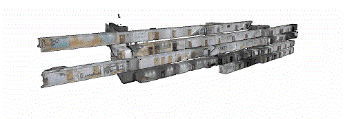
Colored Indoor Laser Scanning Dataset
Colored indoor laser scanning dataset provides point clouds data with RGB information based on multisensor calibration and LiDAR SLAM mapping methods.
More scenes are to be added......
Download per country
Copyright
The Indoor laser scanning dataset is published under the Creative Commons Attribution-NonCommercial-ShareAlike 3.0 License (https://creativecommons.org/licenses/by-nc-sa/3.0/). You must attribute the work in the manner specified by the authors, you may not use this work for commercial purposes and if you alter, transform, or build upon this work, you may distribute the resulting work only under the same license. Contact us if you are interested in commercial usage.
Citation
If you use this dataset please cite the following paper:
C. Wen, Y. Dai, Y. Xia, Y. Lian, C. Wang, J. Li, Towards Efficient 3-D Colored Mapping in GPS/GNSS-denied Environments, IEEE Geoscience and Remote Sensing Letters, 17, 147-151, 2020.
